Experience the ancient outlet channel
The expansion of Saimaa began when the last lakes in the Vuoksi watercourse area became isolated approximately 9,500 years ago. As the waters flowed to the north and the ground tilted towards the southeast, water began to rise to dry land in the southern part of the basins. This led to a flood which lasted five thousand years, during which time the area expanded to form Greater Saimaa. As a result of an increase in water level, an outlet channel broke through at Myllylampi-Kärenlampi 6,300 years ago and the water flowed through that right up until the breakthrough of Vuoksi (5,700 years ago). Nowadays the channel is a chain of small ponds, narrow isthmuses and paludified depressions. There are also Second World War excavations and stone anti-tank defences in the area.
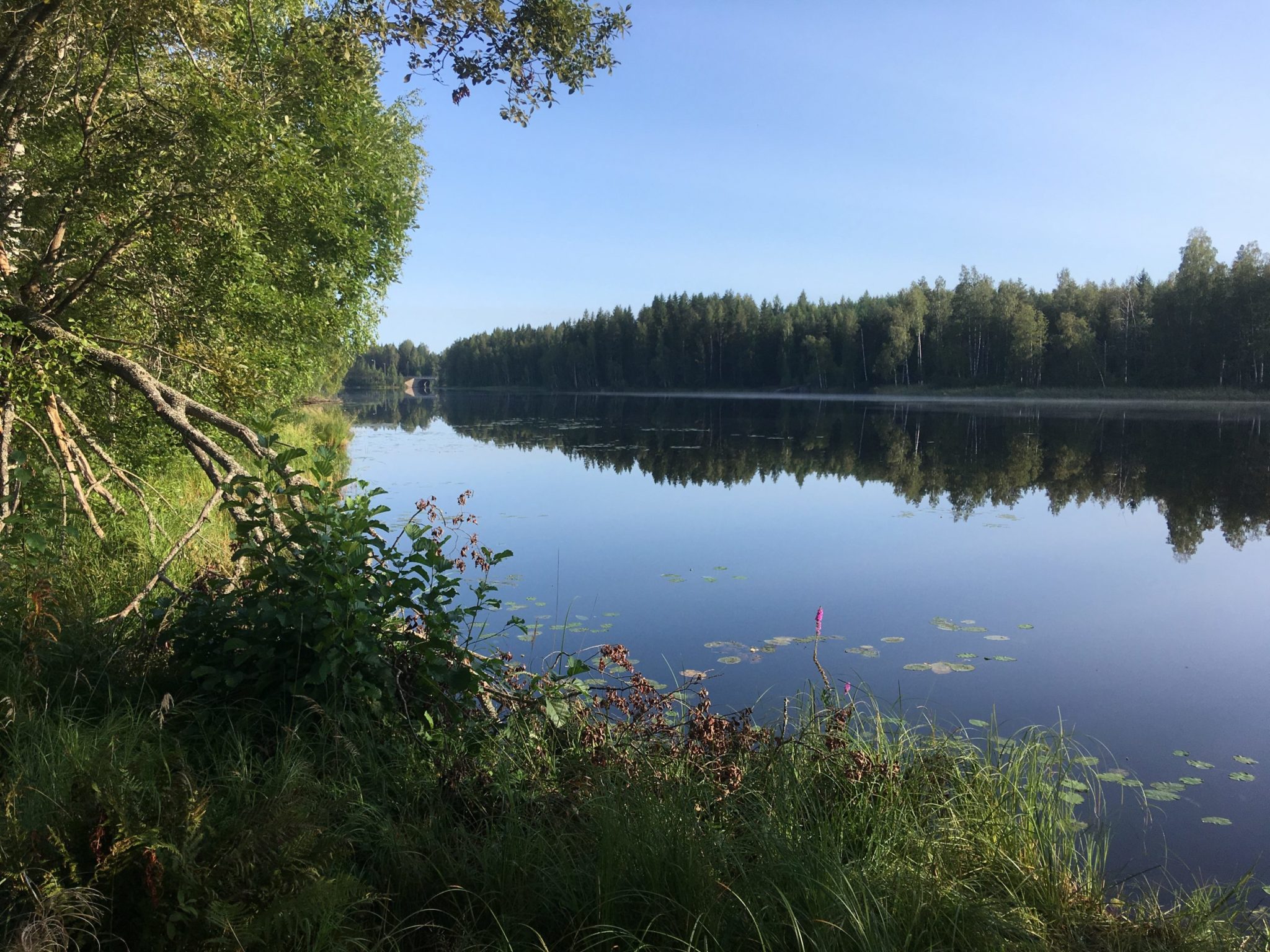
Image: Kaisa-Maria Remes
Coordinates
Geographic coordinates
61.037578758, 28.032528890
GPS-devices
x=555777,600 y=6767412,802
Address
Vanha Mikkelintie 250 264, 53830 Lappeenranta